

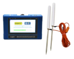
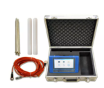
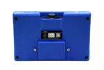
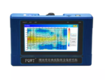
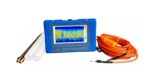
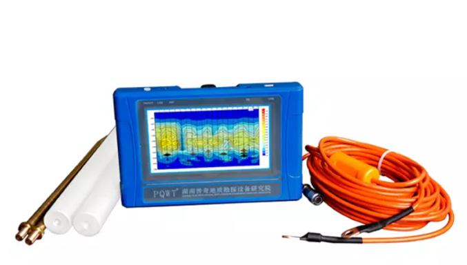
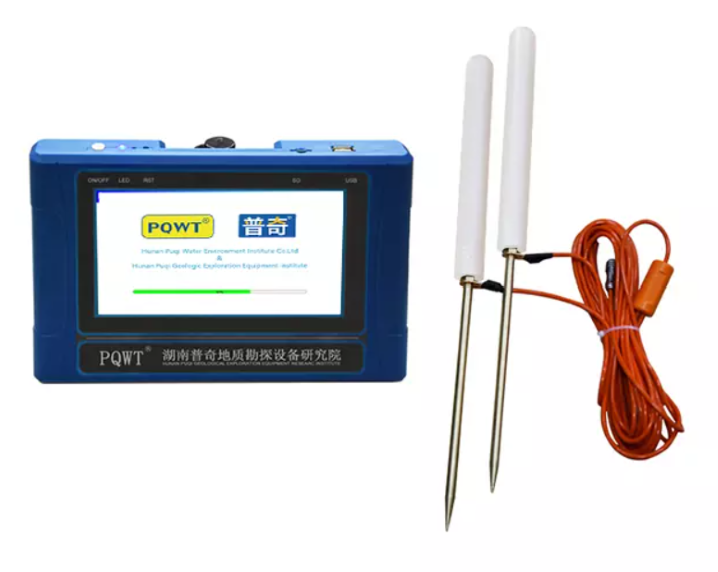
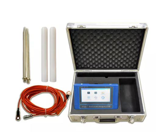
PQWT-TC150

Depth: 150 Meters
Frequency: Single, Triple, 33frequency
Channel: 4
System: PQWT
LCD: Industrial 7-inch HD touch screen
Units of Measurement: △Vs(mV)
Measurement Range: 0mV-1000mV
Stand-by Time: 8-10 hours
Power Supply: Battery Model #26650; 3.7V 4000mAh Rechargeable lithium battery
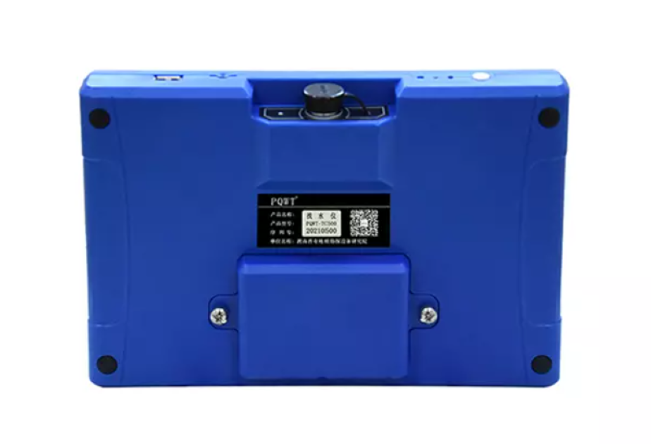
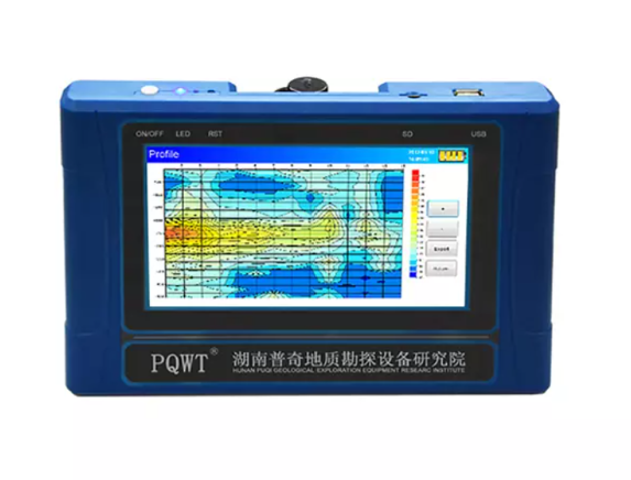
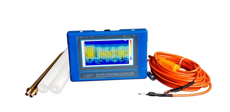
PQWT-TC150 Automatic Mapping Water Detector uses the Earth’s natural electromagnetic field to detect underground water by analyzing conductivity differences in geological formations.
It automatically maps geological profiles in real-times, identifying aquifers, fractures, and faults with over 90% accuracy. It is suitable for plains, hills, mountains, plateaus, and basins.
It provides instant drilling depth and location data on-site.
The PQWT-TC150 is lightweight, easy to operate, and requires no professional training. It supports English, Spanish, French, and Arabic languages and comes with a 1-year warranty and 24-hour technical support.
It is ideal for groundwater exploration.
Related Products

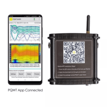
Product Features:
- No need to register
- No need network, no need traffic
- Automatically draw geological profile map
- Suitable for various terrain exploration
- Expert remote assistance to find location
- No experience person can operate in 5 minutes
- Two years warranty.

Product Features:
- No need to register
- No need network, no need traffic
- Automatically draw geological profile map
- Suitable for various terrain exploration
- Expert remote assistance to find location
- No experience person can operate in 5 minutes
- Two years warranty

Product Features:
- Be suitable for plain, hill, mountain land, highland, basin all kinds of geologic structure application;
- Automatic mapping in the instrument, get drilling position and depth result at site.
- Professional user group offers 24 hours after sale service.
- The average accuracy of more than 90% from user’s feedback.
- Four languages including English/Spanish/French/Arabic are optional.
- It is widely used for drinking water, agricultural irrigation water detection.
- Non-professionals can learn the operation way in 5 minutes.
- only 1-2 people can operate.
- Two years warranty.

Product Features:
- Automatic analysis: The instrument analyzes the abnormal area with one click.
- Automatic mapping: Automatically draw curve map, profile map, and 3D renderings.
- Stable and reliable: Collect 18 points data with one-time wiring.
- Increment function: The extension of geological structure can be analyzed by making supplementary measurement in front and rear of the survey line.
- Data storage: It can store curve map, profile map, and 3D renderings of more than 999 survey lines to facilitate the production of geophysical exploration reports.

Product Features:
- Be suitable for plain, hill, mountain land, highland, basin all kinds of geologic structure application;
- Automatic mapping in the instrument, get drilling position and depth result at site.
- Professional user group offers 24 hours after sale service.
- The average accuracy of more than 90% from user’s feedback.
- Four languages including English/Spanish/French/Arabic are optional.
- It is widely used for drinking water, agricultural irrigation water detection.
- Non-professionals can learn the operation way in 5 minutes.
- only 1-2 people can operate.
- Two years warranty.
- The models combines of 100M/ 150M

Product Features:
- Be suitable for plain, hill, mountain land, highland, basin all kinds of geologic structure application;
- Automatic mapping in the instrument, get drilling position and depth result at site.
- Professional user group offers 24 hours after sale service.
- The average accuracy of more than 90% from user’s feedback.
- Four languages including English/Spanish/French/Arabic are optional.
- It is widely used for drinking water, agricultural irrigation water detection.
- Non-professionals can learn the operation way in 5 minutes.
- only 1-2 people can operate.
- Two years warranty.
- Selected the depth according to your demand, 100/150 / 300 / 500 Meters

Product Features:
1. Automatic analysis: The instrument analyzes the abnormal area with one click.
2. Automatic mapping: Automatically draw curve map, profile map, and 3D renderings.
3. Stable and reliable: Collect 18 points data with one-time wiring.
4. Increment function: The extension of geological structure can be analyzed by making supplementary
measurement in front and rear of the survey line.
5. Data storage: It can store curve map, profile map, and 3D renderings of more than 999 survey lines to facilitate
the production of geophysical exploration reports.
The instrument can process the collected data, automatically draw curve map, profile map, and 3D renderings in
real time, and automatically analyze abnormal areas, so as to provide scientific basis for analyzing geological
structures quickly and effectively.

Product Features:
- Be suitable for plain, hill, mountain land, highland, basin all kinds of geologic structure application;
- Automatic mapping in the instrument, get drilling position and depth result at site.
- Professional user group offers 24 hours after sale service.
- The average accuracy of more than 90% from user’s feedback.
- Four languages including English/Spanish/French/Arabic are optional.
- It is widely used for drinking water, agricultural irrigation water detection.
- Non-professionals can learn the operation way in 5 minutes.
- only 1-2 people can operate.
- Two years warranty.
- Selected the depth according to your demand,150 / 300 / 500 / 600 Meters

• Up to 12 measurement channels for simultaneous multi-electrode operations — enabling faster and richer data acquisition.
• Built-in electrode selector handling up to 81 electrodes, and with external selectors the system supports arrays in excess of 16,000 electrodes.
• Advanced IP mode with 100% duty cycle — significantly faster measurement and improved signal‐to‐noise ratio compared to conventional methods.
• Rugged housing (IEC IP66 rated) and design for field use in extreme temperatures (-20 °C to +70 °C) and harsh conditions.
• Fully embedded computing system with Wi-Fi, Ethernet, 3G/4G support, GPS/GLONASS, and removable storage for millions of readings — meaning you stay connected and in control.
• Scalable by software licensing — start with essential capabilities, then unlock more advanced features as your project demands grow.

Product Features:
- Be suitable for plain, hill, mountain land, highland, basin all kinds of geologic structure application;
- Automatic mapping in the instrument, get drilling position and depth result at site.
- Professional user group offers 24 hours after sale service.
- The average accuracy of more than 90% from user’s feedback.
- Four languages including English/Spanish/French/Arabic are optional.
- It is widely used for drinking water, agricultural irrigation water detection.
- Non-professionals can learn the operation way in 5 minutes.
- only 1-2 people can operate.
- Two years warranty.
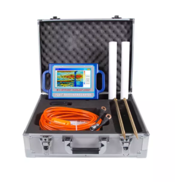
Depth 100 / 150 / 300 / 500 Meters
Frequency Single, Triple, 36/40/56frequency
Channel 8
System PQWT
LCD Industrial 7-inch HD touch screen
Units of Measurement △Vs(mV)
Measurement Range 0mV-2000mV
Stand-by Time 8-10 hours
Power Supply Battery Model #26650; 3.7V 4000mAh Rechargeable lithium battery